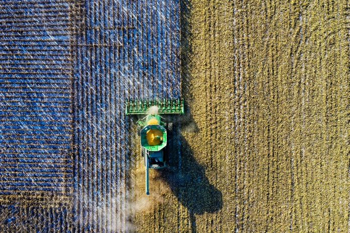
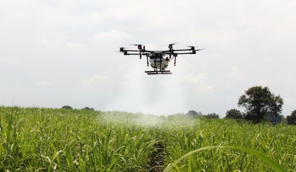
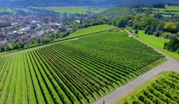
The use of drones in the agricultural sector allows the creation of maps or prescribed recommendations. These maps allow not only the identification of non-standard areas in their fields and the irregularities of the plants or their level of maturity, but also any other information useful to monitor your operations.
DIGITAL SOLUTIONS
farming
An advantageous solution
Tayga Drone is able to detect irregularities in its areas of culture and operations using the right tool for each application.
Drones Tayga presents an advantageous alternative to manual work performed by workers on site who often require countless business days to perform. We offer a solution that will save time and money!

use technology Tayga Drone to simplify and determine the tasks related to:
- The condition of your fields;
- Detection of failed planting zones;
- Monitoring the evolution of planting;
- Wetland detection (hydrical stress);
- Detection of diseases and insects;
- Water flow assessment;
- An estimate of biomass and its production;
- Topographic plans and terrain profiles;
- The delimitation of borders.
Time Tayga has extensive experience in the industry, that can be adapted to numerous applications.
let us knower what do you need!


