DIGITAL SOLUTIONS
Environment and Energy
An advantageous solution
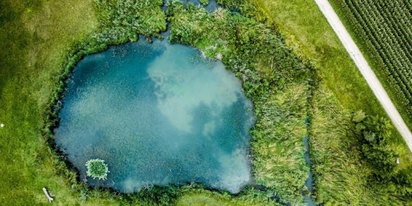
Thanks to Tayga Drone's expertise, we can monitor areas of interest and flood plains using high-precision aerial photographs. Using cameras and sensors suitable for each application, we are able to produce very accurate 2D and 3D georeferenced surveys.
Using infrared images and multispectral cameras, we can carry out soil moisture surveys (hydrical stress) or environmental liabilities.
Time Tayga has extensive experience in the industry, that can be adapted to numerous applications.
let us knower what do you need!


