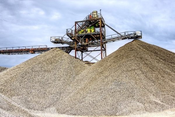
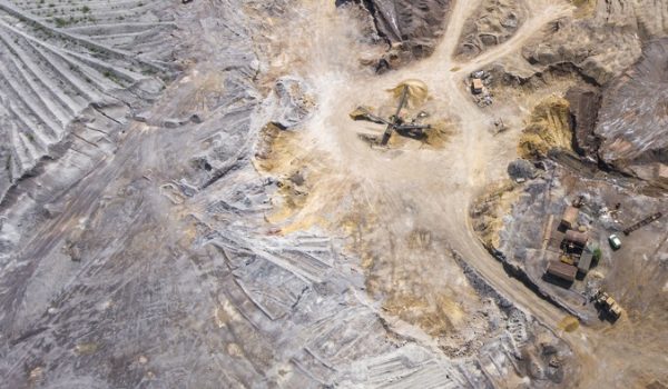
Thanks to Tayga's sophisticated technology, now we can get an accurate picture of your mines, its quarries and ore collection systems from beginning to end of processing, through this technology we can compare in reports with its production. You'll eliminate waste and dramatically increase the accuracy of your data.
DIGITAL SOLUTIONS
Mining
An advantageous solution
Thanks to the experience of Tayga Drone, get reliable and accurate reports with guarantees of accuracy to manage the quantities of materials that leave your quarries and go to processing. Eliminate losses and effectively manage your products. Get an immediate return on your investment!
Technology Tayga Drone and Mining Experience
Volume calculations and quantity reports for your mining company. When carrying out aerial mapping with georeferenced photos and aerial videos, we create surveys of your site, allowing you to reproduce the exact volumetry and progress of your deposits.


Using Tayga Drone solutions, you can efficiently plan your management. Use Tayga Drone technology to simplify tasks related to:
- Survey of ore volume;
- Positioning boundaries for cut and fill area;
- Monitoring and monitoring of works;
- Slope Flow Assessment;
- Area survey;
- Erosion monitoring;
- 2D and 3D modeling.
Time Tayga has extensive experience in the industry, that can be adapted to numerous applications.
let us knower what do you need!

